
Munich is a city with a rich cultural and historical background, which is why it attracts millions of visitors annually. In the first half of 2012 ‘2.8 million tourists visited Munich and the surrounding area between January and June’. There are many public spaces across the city for people to visit and behind many of these public spaces comes a rich history. It is the emergence of these public spaces in Munich throughout the years that I will talk about in this blog.
Image 1: Map of Munich 1644, including Marienplatz, (eng. Mary’s Square)

Above is a map of Munich city centre from the middle of the 17th century. The map includes Marienplatz. Marienplatz or Mary’s square as it translates to in English, has been the main square in Munich since the 12th century. It’s evident even from this 500 year old plus map that all the streets are leading to the Marienplatz square, which is ideally located in the heart of the city. The square was a focal point and a place where people would meet each other from day to day in 17th century Munich.
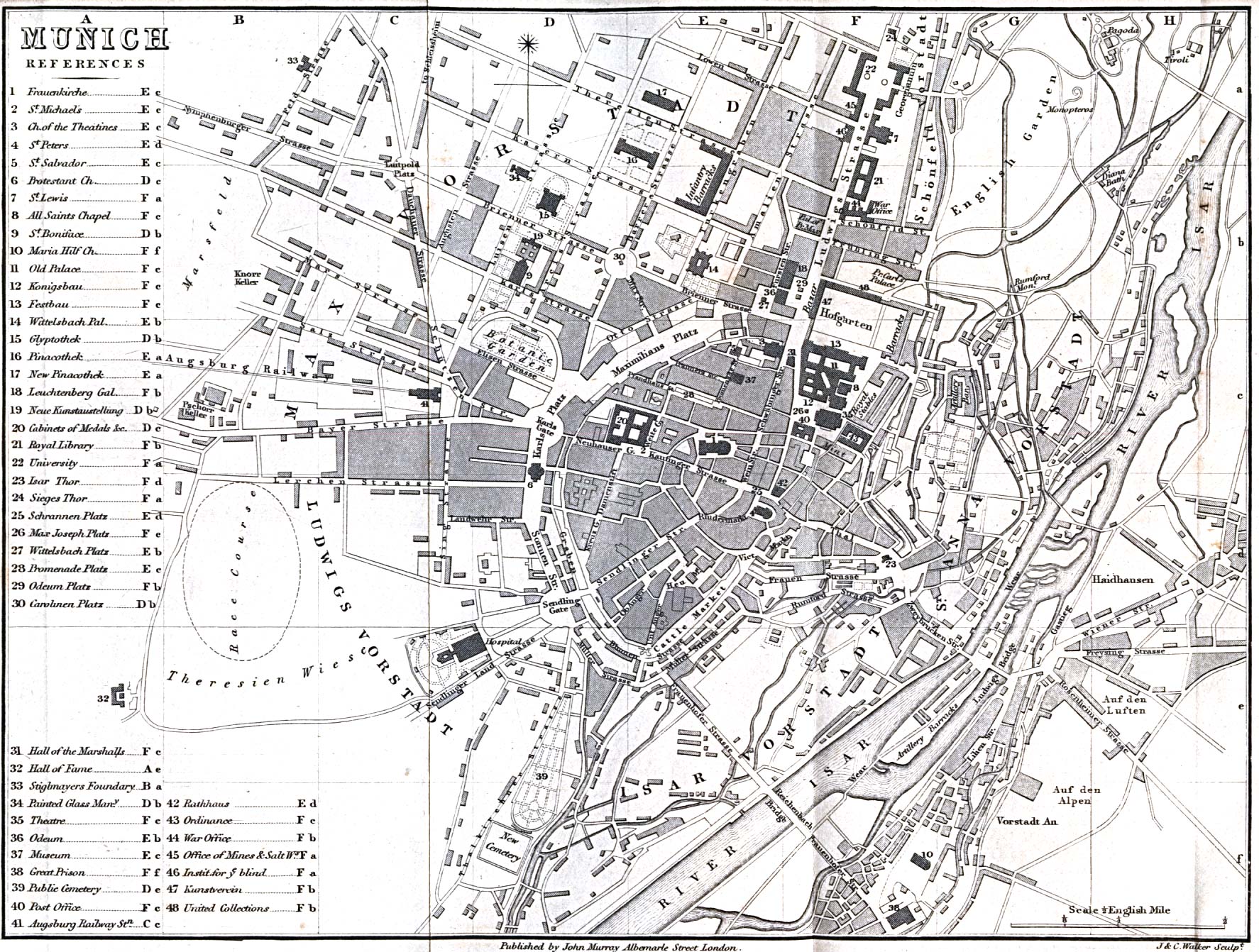
Image 2: Map of Munich 1858

This map above shows how much the city centre of Munich has developed with modernisation in over 200 years. This is a prime example of modernisation of a public space over a period of time. There was massive transformation in the city of Munich in the space of 200 years as seen from the two maps. The city centre had expanded hugely from a small square to a large surrounding area including many other public spaces. The Botanic Garden and the Hofgarten along with a racecourse and various markets can be seen in close proximity to the square.
Munich’s use of it’s wide open spaces since the 17th century has been very effective and has helped make it the modernised city it is today. The emergence of these new public spaces has been essential to Munich becoming one of the most popular cities in the world today.
References:
- http://www.lib.utexas.edu/maps/historical/munich_1858.jpg (Image 1)
- http://www.themunicheye.com/news/Impressive-stats-for-Munich-tourism–1925
- Harvard Library. (Image 2)
